aka: “I used to live there!”

An exhibit in Germany by the Museum of the American Military Family showcases the stories in the Museum’s book, Host Nation Hospitality. The book is a memoir collection from people affiliated with the US military who enjoyed living as guests in other countries. For myself, these places were England, Bermuda, Germany, and Belgium.
This post is a bit late from the starting time of the exhibit (Life threw me another plot twist), but better late than never. If you’re in Germany near Weil im Schönbuch (in the vicinity of Böblingen), you can visit the exhibit through the end of December. To quote so many advertisements, “make your reservations now!”
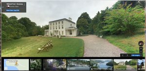
To vicariously share the experiences, if you’re not in Germany so that you can visit the exhibit, the book is available from Amazon. I find it especially intriguing to couple reading the book with exploring Google Maps. That way, I can see the cities and countryside where the adventures took place.
Here’s a toast to armchair travelers exploring the world. Happy travels.